Wed 9 Dec 2009
http://www.openstreetmap.org seems to be a site similar to Google maps, but without the satellite imagery, Google Street View, and the ability to calculate driving directions. So why bother using it?
For starters, the maps are in the public domain and can be used freely for almost anything, unlike Google’s maps. They get created and continuously improved by the community and are in many cases more up-to-date and accurate than Google’s maps.
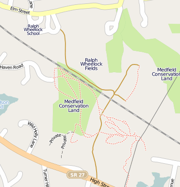
I added the location of the proposed Bay Colony Rail Trail corridor some time ago, which was fun to do, but my effort pales in comparison to what Dave Lafreniere of the Friends of Medfield Forests and Trails did. He added the Charles River and other water bodies, and he GPS-traced and mapped every few feet of trail in our town, including Rocky Woods and Noon Hill reservations. This must make Medfield one of the best-mapped communities in the country. Check it out, it is an amazing asset for the town.
